Thirty minutes drive around Orbost
A short drive from Orbost can take you out into nature, or exploring history. Wide open beaches, secret waterways, forest alive with bird calls and waterfalls and majestic timber former railway bridges await discovery, and best of all you will probably have them to yourself.
Head to our Download Tour Brochures page for pdf brochures covering these locations.
Historical Timber Rail Bridges Orbost Region
The former railway line between Bairnsdale and Orbost is now the East Gippsland Rail Trail, a traffic free cycling and walking route. A legacy of the railway is a number of spectacular timber bridges.
Snowy Rail Bridge (5 minutes)
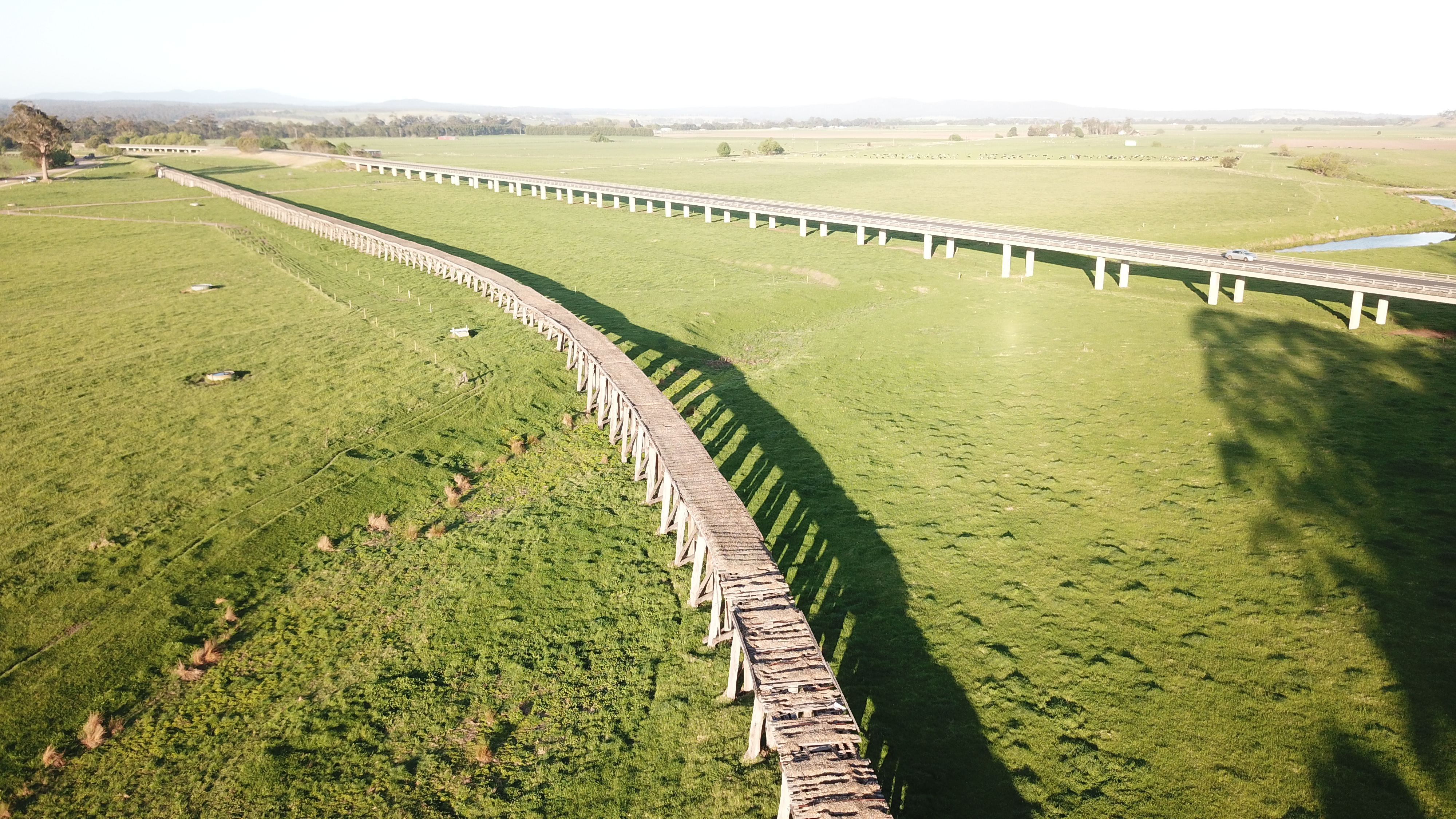
Unmissable from the Princes Highway, this 770 metre long bridge is the longest in Victoria. Get a close up view from Burn Road , the Viaduct Trail or from above at Grandview Lookout at Newmeralla. You can also walk or Cycle to the bridge from Orbost. The local community has successfully campaigned for the restoration of the bridge - get updates on works on their Facebook page.
Wairewa ( O'Grady's) Rail Bridge ( 20 minutes)
Originally a splendid curved structure spanning a gully and high above a road, this bridge was partly destroyed in the Black Summer fires in January 2020. As part of the recovery from the fires, the little local community prioritised repair to 'their' bridge, and it stil remains as a spectacular structure, just 2 kilometres off the Princes Highway at Wairewa.
Stony Creek Trestle Bridge (35 minutes)
This magnificent bridge spans 247 metres and is 20 metres high, making it one of the largest of it's kind in Victoria. Find out more.
Use our Orbost to Lakes Entrance self drive tour guide to find these and more places.

Coast and River Orbost Region
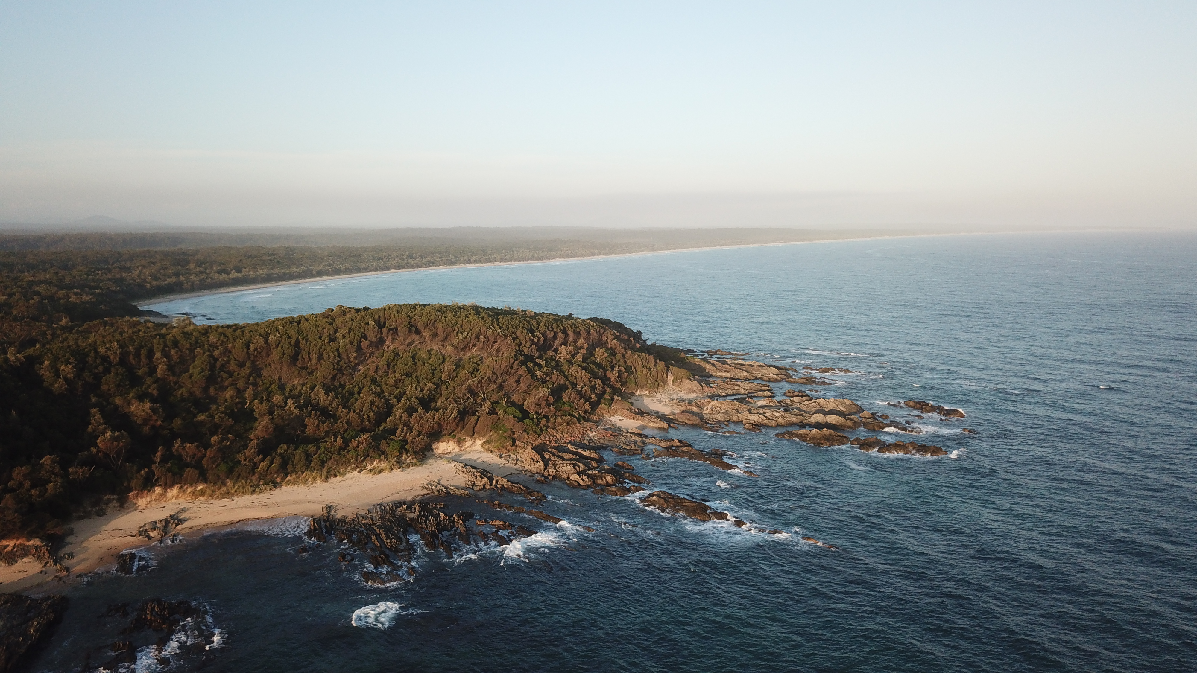
This small rocky point interups the immense sweep of 90 Mile Beach. From the carpark just 300 metres off the Marlo - Conran Road, walk for hours in either direction with nothing but the surf and seagulls for company.
Cape Conran (30 minutes)
The East and West sides of Cape Conran offer some of Victoria's most spectacular coastal scenery, while being totally different in character. One side is nearly always sheltered from the wind.
West Cape Conran's beach is exposed and wild, and separated from the ocean access boat ramp, see our Boating and Fishing page for more information on what's offer in the area area by the rockpools and boulders of Salmon Rocks.
East Cape Conran has shady grassy picnic areas overlooking the more sheltered beach, with gas BBQs. Find out more.
Yeerung River (35 minutes)
The Yeerung is a secluded estuary, formed by sand dunes holding back the waters of the freshwater creek from the ocean. Ocean access, calm swimming waters a canoe launching area and a 1 km walk along mean this spot punches above it's weight for things to do. Find out more.
Corringle Slips (25 minutes)
A former boat slipway, 'the Slips' as locals call them are directly across the Snowy River from Marlo, but are accessed by turning off the Princes Highway at Newmeralla. Camping, picnics and a great place to access the sand dunes separating the Snowy from the sea. Find out more.
Lochend Rainforest (10 minutes)
This little patch of remnant rainforest is a taste of the thick 'jungle' that once covered much of the Snowy River Floodplain, and has a boat ramp and picnic area. Drive (or cycle) along the quiet Lochend Road, on the opposite side of the river to the much busier Marlo Road).

Forest and Waterfalls Orbost Region
Youngs Creek Falls (15 minutes, some forestry roads)
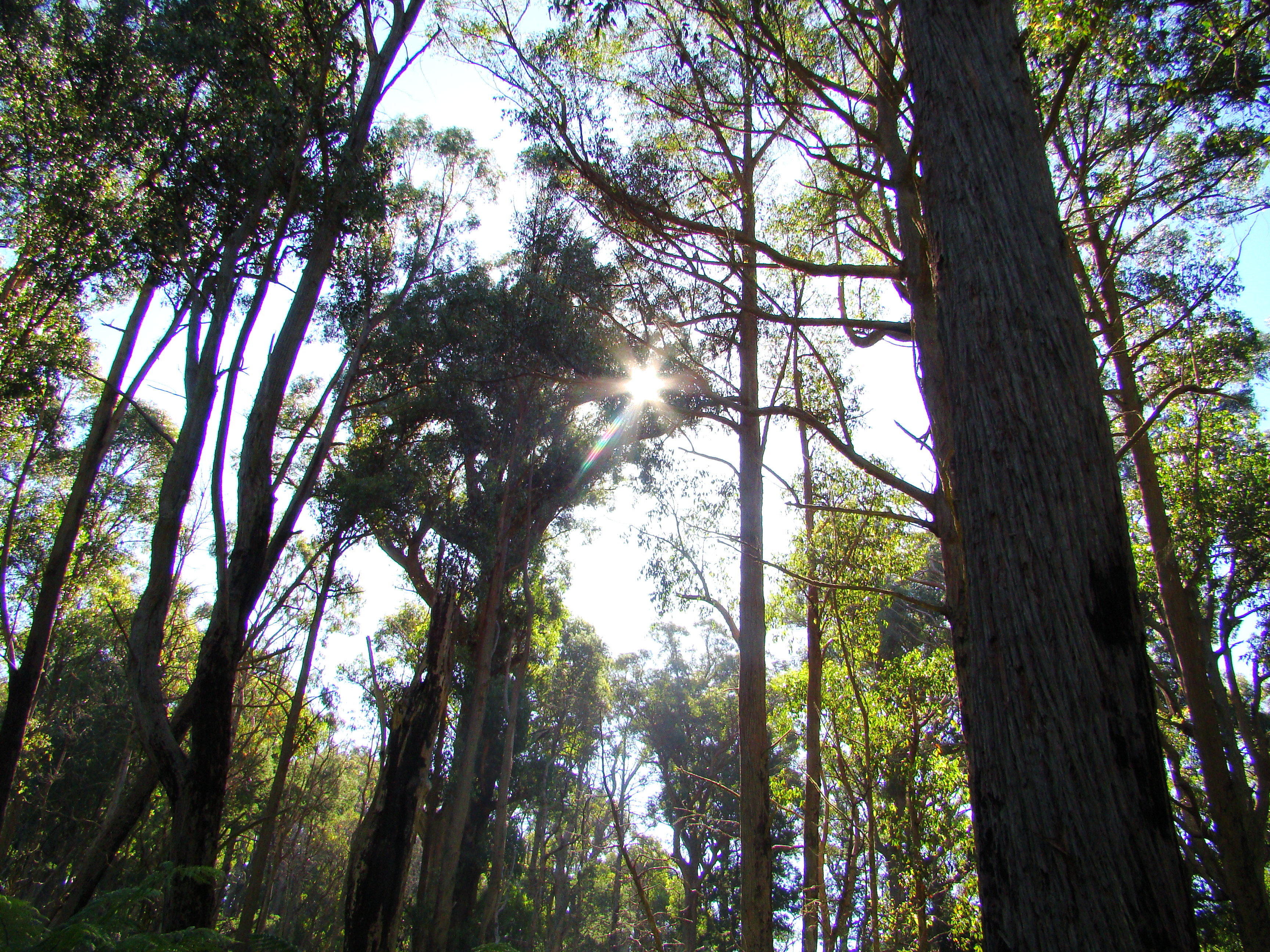
A viewing platform overlooks the rock ledge where Youngs Creek is sometimes a trickle and sometimes a torrent, but the short walk in, and the longer Young's Creek Reservoir walks accessed from the same point, are one of the closest places to Orbost to experience East Gippsland's forests. Download foresty brochure.
Woods Point (30 minutes, mostly forestry roads)
Woods Point is a camping and picnic area on a deep loop of the Snowy River. With a huge sandy beach it is a brilliant spot for freshwater swimming.

